Animated Graphic/video Here
What is LiDAR Scanning?
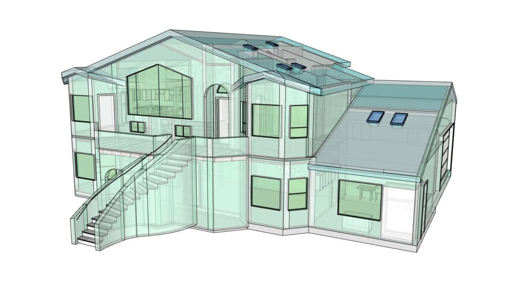
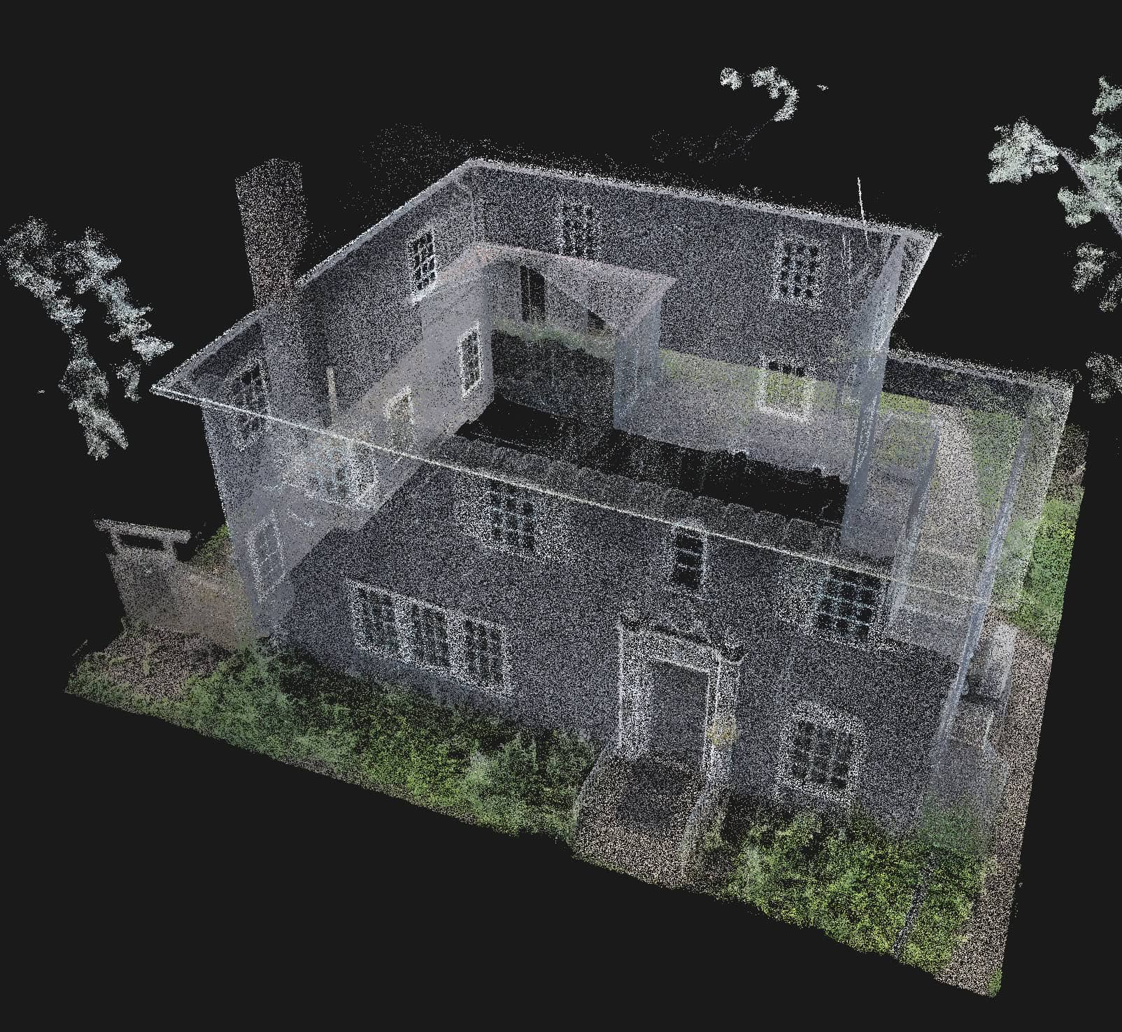
LIDAR scanning (Light Detection and Ranging) is a high-precision technology that uses laser light to create detailed, three-dimensional maps of a structure or landscape. For homeowners, LIDAR can be used to scan the interior or exterior of a house, capturing accurate measurements of walls, floors, ceilings, and even terrain around the property.
This technology is especially valuable during renovations, home additions, or structural evaluations. It allows contractors and engineers to clearly see how a home is built, identify hidden structural issues, or plan changes with exact dimensions—eliminating guesswork. For historic homes or those with complex layouts, LIDAR scanning helps preserve accuracy and avoid costly surprises. Simply put, it’s a modern tool that ensures smarter planning, better safety, and more efficient home improvement projects.
Why use LiDAR?
That’s why our clients rely on us to provide field-verified, professional-grade “as-built documentation” that supports:
Whether you’re replacing walls, adding square footage, or updating finishes, our residential scanning services give you an accurate foundation to build on.
Our Process
What You Get From A LiDAR Home Scan
Exterior Elevations
Description for this block. Use this space for describing your block. Any text will do. Description for this block. You can use this space for describing your block.
Site Plans
Description for this block. Use this space for describing your block. Any text will do. Description for this block. You can use this space for describing your block.
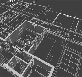
Floor Plans
Description for this block. Use this space for describing your block. Any text will do. Description for this block. You can use this space for describing your block.